La Grande Carte
French open data on every town, parcel and address
- Category
- Data & Analytics
- Primary Subcategory
- Geospatial & Spatial Analytics Data
 View in the Claude registry
Integration details
Description
La Grande Carte gives Claude read-only access to French public open data, curated and cross-referenced from about 40 official sources (INSEE, DGFiP, IGN, Géorisques, ADEME, ARS, SSMSI…). Ask about any of France's ~35,000 communes: population, income and poverty, housing and advertised rents, tap-water quality, air quality, crime, climate, travel times, amenities, municipal finances, mayor and election results. Ask about a specific address or cadastral parcel: natural and industrial risks (flood, clay shrink-swell, radon, seismic, polluted sites), urban-planning zoning, recent property sales and a price estimate, energy ratings, noise, fibre and mobile coverage, protected areas and heritage. Départements and régions come with their own statistics. All data is published under the Etalab Open Licence 2.0. A free account, created while connecting, includes 100 requests a day for non-commercial use. Paid plans cover commercial use.
- Integration type
- Connector
- Verification status
 Community connector
- Platform
- Claude
- Primary Subcategory
- Geospatial & Spatial Analytics Data
- Secondary Subcategories
- None listed
- Brand
- La Grande Carte
- Access
- Account required
- First tracked
- 2026-09-24
- Tool count
- 11
- Geography
- US
The Primary Subcategory used for this profile’s headline score.
Other Subcategories where the Integration is listed.
Claude Discoverability Score
Claude Connector discovery is coming soon
Community Connectors only appear in Claude’s registry.Once verified, organic discovery begins and we can calculate your score.Read more about Community Connector verification.
No spam. Unsubscribe any time.
No spam. Unsubscribe any time.
What discovery looks like
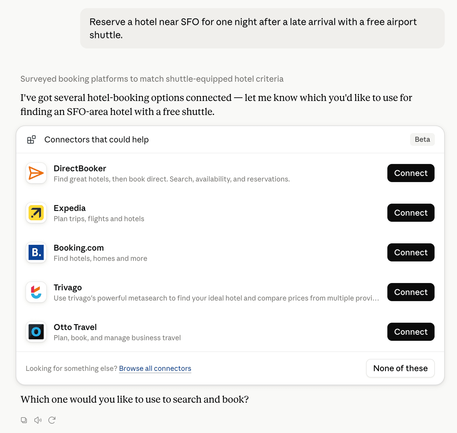
Claude can surface verified Connectors when they match a user’s Prompt.
How Claude Connector discovery works
Your Connector will compete to appear for users’ Prompts once Claude verifies it
Competing in Claude Geospatial & Spatial Analytics Data
View Category11 tools agents can invoke
How do I improve a Community connector's discoverability?
The levers are the listing surface agents actually read: names, descriptions, keywords, tool metadata, and registry health. Which lever matters depends on where discovery breaks, which is what continuous measurement shows.
What are La Grande Carte alternatives on Claude?
As of 2026-09-28, La Grande Carte competes with Felt Maps, TomTom Maps, GIS Cloud, Maryland Community Compass, Alloy Robotics, barocline, BigGeo AI, ExplorationMaps, Prefix WhoIs, SkyWatch, Swath API, TrustyData, Wherobots Spatial AI Assistant in Claude Geospatial & Spatial Analytics Data, ranked by public Discoverability Score.
Where is this profile measured?
This profile uses the geography attached to the latest public registry snapshot: US. Locale tags are intentionally omitted.